 With the Olympics coming up you might be talking more to your kids about different countries and pulling out maps or a globe to show them where different countries are.
If this is your first time introducing concepts of geography to little ones, check out this great list of books about maps and globes from Gift of Curiosity. The list includes basic factual books as well as story books that involve mapping and get kids thinking about the fact that they are part of a neighborhood, town, state, nation and world.
You can do that physically with these Me on the Map activities from Living Montessori Now. I love the basic nesting circles, but stacking boxes and towers are a really cool representation of the different places we are part of as well.
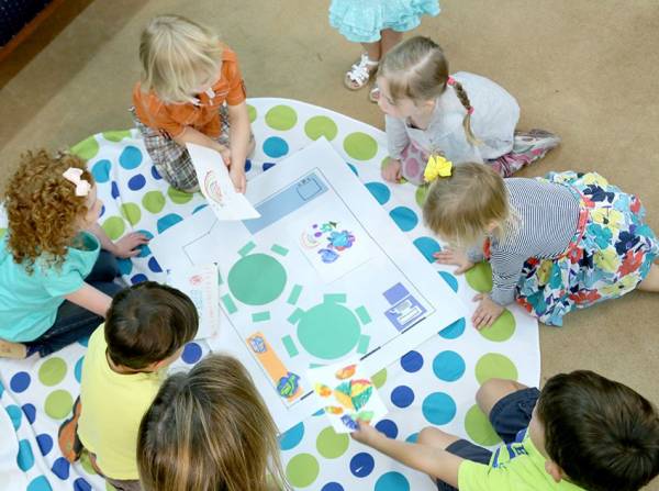
Whether your kids are just learning about maps or are a bit older, National Geographic has a great collection of map skills activities for all ages of elementary school students. From mapping the classroom or the park for the littlest students to studying historic maps and comparing them to those of today, there’s something for everyone here.
How do you use maps in learning? I have an old atlas I pull out a lot when we talk about different countries, we have some nation and world puzzles, and I’ve got my eye out for a secondhand globe we can play with. I’d love to hear your ideas, too.
[Photo by Winn Brewer via National Geographic.]
 Years ago when my daughter was still a toddler and still at home all day, I compiled a list of
Leave a Reply